DENVER – Northern Colorado is in for its second snowstorm of the week Thursday, which is expected to bring a general 1-5 inches of snow in the metro area and foothills starting during rush hour and continuing into the early afternoon.
The snow started near the Wyoming border around 6 a.m. and is tracking south this morning.
The National Weather Service upgraded the Denver metro area, foothills, Palmer Divide and southern Weld County to winter weather advisories, which are in effect until 3 p.m. Thursday.
Between 2 and 4 inches of snow is expected in those areas, with higher totals in the foothills and winds gusting up to 35 miles per hour.
The heaviest snowfall should happen between 8 and 11 a.m. on the northern plains, from 10 a.m. to 1 p.m. in the Denver metro area and from midday to the early afternoon near the Palmer Divide, according to the NWS. The snow-water equivalent will be slightly less in this storm compared to Tuesday’s.
MORE: Closings and Delays | Full forecast | Radars | Traffic | Weather Page | 24/7 Weather Stream | 24/7 Radar Stream
You can always watch 24/7 weather, radar and news updates on the free Denver7+ app on your TV.
We’ll update this story with the latest news, traffic and weather conditions throughout Monday evening and through Tuesday as the storm moves across Colorado. Refresh the page for the latest. (All times Mountain):
———
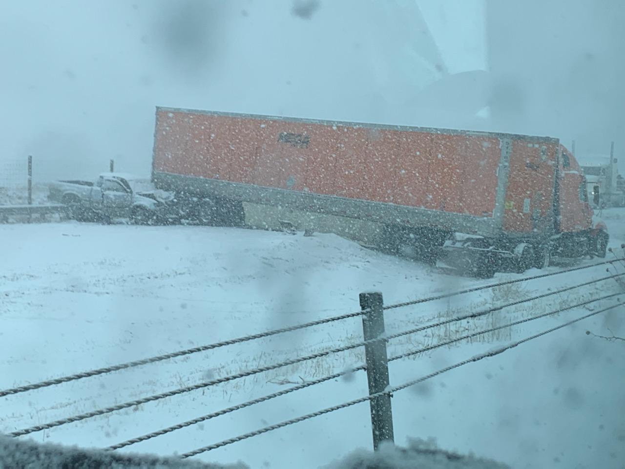
3:15 p.m. | The northbound lanes of I-25 reopened, but shortly afterward, a semi jack-knifed at mile point 119. CDOT says the left lane is blocked but traffic is moving by in the right lane and shoulder.
1:44 p.m. | Northbound I-25 near Fountain is closed due to a crash involving 10-15 vehicles. The crash occurred south of Fountain. All northbound lanes are closed at milepoint 104, according to CDOT. There is no ETA for the highway reopening.
There are no details available on injuries as of now.


1:05 p.m. | Denver Public Schools is canceling all after-school activities, including Discover Link and DPS athletics, due to "deteriorating weather conditions" as the latest snowstorm continues to move out of the metro area.
12:47 p.m. | Eastbound I-70 is closed due to safety concerns between exit 180 for East Vail and exit 190 for Vail Pass Summit.
8:15 a.m. | The snow is starting to make its way south — we're now seeing snow on the ground in Greeley, Fort Collins, Longmont and up near Thornton and Commerce City.
I'm seeing snow now at I-25 and 144th. pic.twitter.com/PmvXHQQ8vp
— Jayson Luber (@Denver7Traffic) January 27, 2022
6 a.m. | Here is the latest on what to expect from today's storm from Meteorologist Lisa Hidalgo. Click here for Lisa's forecast.
5:30 a.m. | The National Weather Service upgraded the Denver metro area, foothills, Palmer Divide and southern Weld County to winter weather advisories, which are in effect until 3 p.m. Thursday.
❄ Snow Update ❄ Forecast amounts have increased with 2-4" now expected across the I-25 corridor & foothills. The heaviest snowfall rates will be from 8am to noon & roads will be slick & snow-covered. A Winter Weather Advisory was issued due to expected travel impacts. #COwx pic.twitter.com/Cm6dCye3Gn
— NWS Boulder (@NWSBoulder) January 27, 2022


