DENVER — Temperatures soared to the warmest levels in the month of December Tuesday afternoon as readings reached the low to mid-60s in the Denver area - quite a change from the Arctic air that arrived just before Christmas.
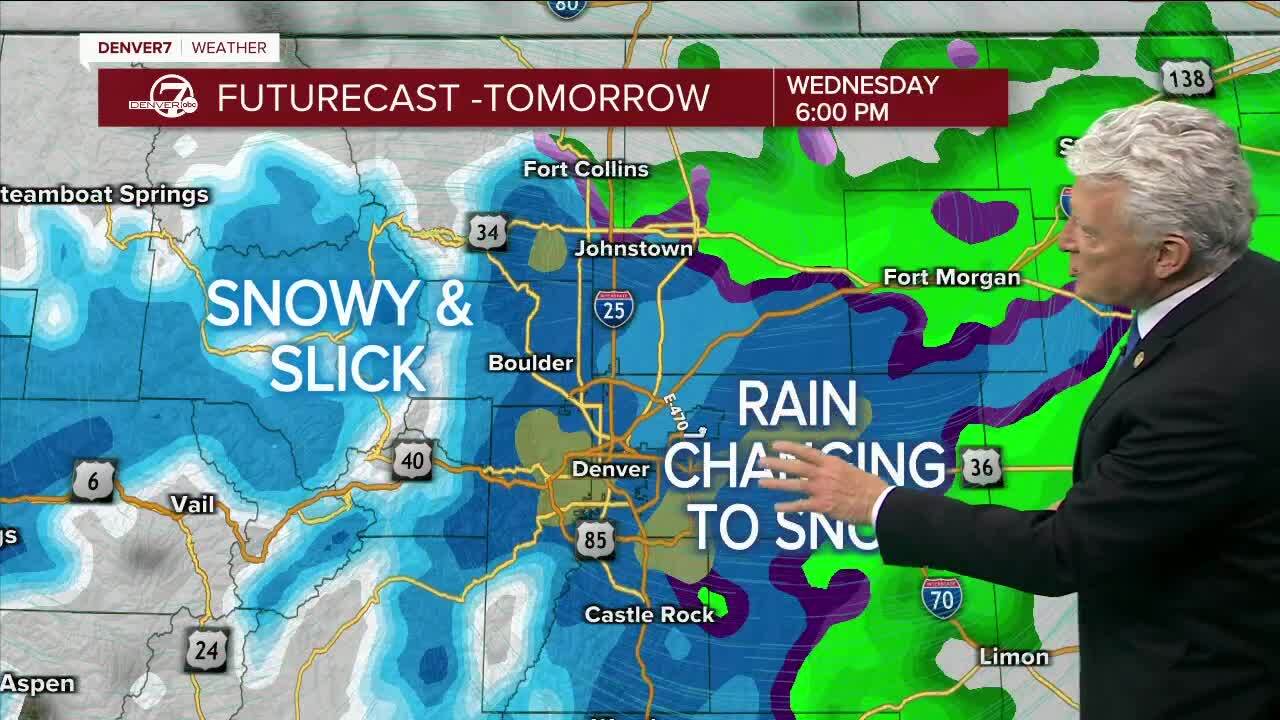
A strong storm system will move into Colorado tonight, with snow developing in the mountains and becoming heavy on Wednesday. This storm should drop 12-20 inches of snow in the mountains through early Thursday.
Wednesday will be cooler in the Denver metro area, with a midday high around 48 degrees. We are expecting to see rain shift to snow over the metro-area and plains during the late afternoon.
A fast moving storm will bring rain and then snow to Denver Wednesday evening
— Denver7 News (@DenverChannel) December 28, 2022
Live conditions, radars + cams anytime: https://t.co/5Kj3Y31xQf pic.twitter.com/5h23KNUnsj
On Wednesday night and early Thursday there will likely be a burst of snow along the I-25 Corridor. At present, the most likely snowfall amounts are in the 3 to 5 inches range through early Thursday morning.
Skies will clear on Thursday with highs in the 30s. Friday will be cool and dry with highs in the 40s. Clouds will increase on Saturday with more snow developing in the mountains.
New Year's Day will be colder with more mountain snow and a chance for snow in Denver and across the eastern plains. Light snow or flurries are expected next Monday and the weather will stay chilly and unsettled.
Click here to watch the Denver7 live weather stream.


