May can be a wild ride for weather in Colorado and the next 2 to 3 days will be proof of that in a big way!
Fire Weather Warnings cover much of the state for Thursday, while a Winter Storm Watch goes into effect for Denver and the Front Range for Friday afternoon through Saturday morning.
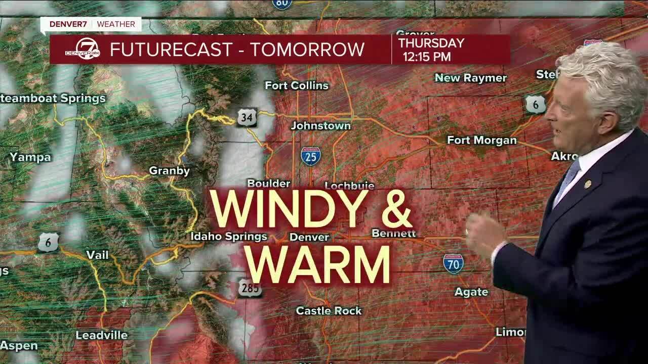
Windy, warm and dry weather Thursday as the winds kick up from the southwest. Fire danger will be very high with gusts of 25-50 mph. Highs will climb to the upper 80s in Denver and into the 90s over southeast Colorado.
A strong cold front will usher in some much-needed rain on Friday. It will also be quite a bit colder for the coming weekend with highs in the 40s to low 50s on the plains and 30s in the mountains.
The northern and central mountains will see heavy snow Friday and early Saturday, while Denver and the plains will get a cold rain that will mix with and change to heavy, wet snow.
Early morning low temperatures for Saturday will drop into the 20s in the mountains and around 30 degrees for Denver and northeastern Colorado.
The rain will switch over to snow late Friday and early Saturday, especially near the foothills and along the Palmer Divide. Accumulations of 3 to 6 inches will be possible for elevations above 6,000 feet
Sunday will stay cool and unsettled with more showers likely. Highs will stay in the 50s in Denver.
Milder weather will return early next week.
Click here to watch the Denver7 live weather stream.


