Clouds increasing ahead of stormy weather developing across eastern Colorado.
Another round of strong thunderstorms will likely develop over eastern Colorado through Friday night. Large hail, locally heavy rain, and isolated tornadoes will be the main concerns with the storms that form over the plains.

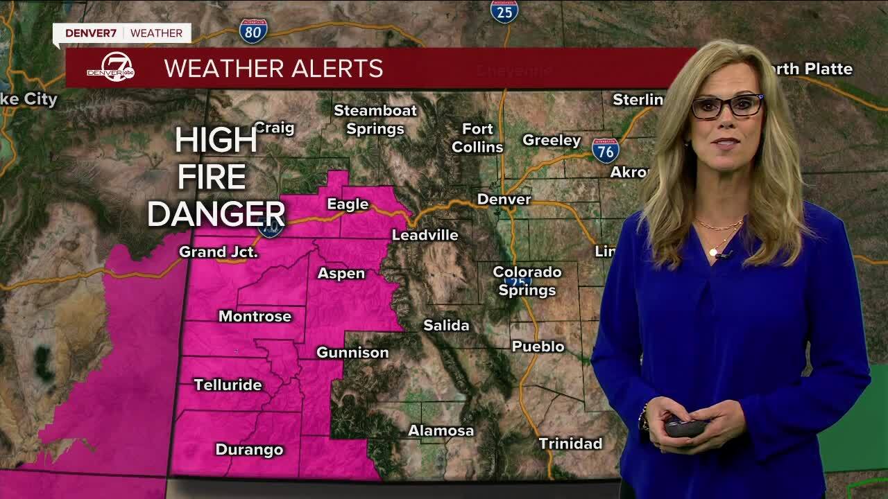
Over the western half of Colorado, sunshine and warm temperatures can be expected to continue. It'll be hot and dry over the Western Slope, with highs in the upper 90s in Grand Junction. Fire danger will remain the main concern over Western Colorado.
The overall weather pattern is not going to change much on Saturday. Temperatures will be warmer over eastern Colorado, with highs in the mid to upper 80s in Denver. But there is so much moisture in the soil, scattered thunderstorms will develop and the risk for severe weather remains.
The weather for Western Colorado will remain dry and warm Sunday through next week. Drier air settles in as well, with very few storms expected. Highs will rebound to the 90s early next week!
LEARN MORE: Hourly forecast | Radars | Traffic | Weather Page | 24/7 Weather Stream
Click here to watch the Denver7 live weather stream.


