


Tonight, scattered showers and a few thunderstorms will pop up, mainly over the higher terrain and the Palmer Divide.
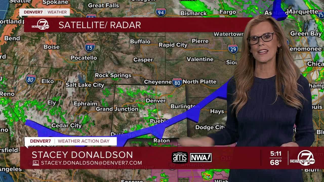
The plains, including the Denver area, should stay pretty quiet weather-wise tonight and early Monday morning.

Monday looks drier overall, with a bit of leftover moisture sticking around the mountains and areas south of I-70. Those spots might still see a few afternoon showers or storms, but most of the region will be dry. Temperatures will be warming up, climbing into the upper 70s and low 80s across the plains, so it's a good day to get outside.

By Tuesday and Wednesday, the weather pattern starts to settle into more of a summertime groove. Skies will be mostly sunny, and temperatures will continue to rise into the upper 80s and even low 90s. There’s still a slight chance of afternoon thunderstorms, but mainly over the higher terrain, with Tuesday being a little drier and Wednesday seeing a bit more storm potential.

Thursday and Friday continue the warm trend, with above-normal temperatures sticking around. Expect more sunshine across the plains, with highs staying in the upper 80s to low 90s. Some afternoon storms could develop over the mountains and possibly drift toward the plains, but chances are still pretty low overall.
So, in short: after a few storms tonight, we’re looking at a mostly dry and warm week ahead. It’s shaping up to be a great stretch of summer-like weather, especially if you’re a fan of sunshine and heat—with just enough afternoon thunderstorm chances to keep things interesting, particularly up in the hills.
DENVER WEATHER LINKS: Hourly forecast | Radars | Traffic | Weather Page | 24/7 Weather Stream
Click here to watch the Denver7 live weather stream.
