

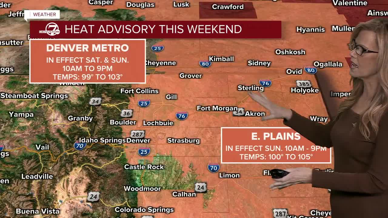


The temperature at Denver International Airport has officially clocked in at 101 degrees Saturday, breaking the previously held record for today's date.
The previously held record was 99 degrees in 1963, according to National Weather Service data.
This marks the second time Denver has hit triple-digit temperatures in the last five days.
On Sunday, Denverites can expect a high of 101 degrees, breaking the previously held record for the day.

Sunday will be another extremely hot day, with many areas reaching record or near-record temperatures. The Heat Advisory expands to cover all of the plains, so it’s a good idea to stay hydrated and limit time outside during the hottest part of the day. A few afternoon and evening thunderstorms are possible, mainly over the mountains, with a few drifting onto the plains.
Monday brings a change in the weather as more moisture moves into the area. Clouds will increase, and showers and thunderstorms will become more widespread. While temperatures will be a little cooler than the weekend, some storms could produce locally heavy rainfall.
Tuesday and Wednesday look to be the wettest days of the week. Expect scattered to numerous showers and thunderstorms during the afternoons and evenings, with the potential for heavy rain in some locations. Temperatures will remain a bit cooler thanks to the increased clouds and moisture.
By Thursday and into next weekend, temperatures should continue to trend a little cooler, with highs mostly in the upper 80s to mid 90s. There will still be chances for afternoon and evening thunderstorms, but storm coverage may gradually decrease by Friday and Saturday as the atmosphere begins to dry out.
DENVER WEATHER LINKS: Hourly forecast | Radars | Traffic | Weather Page | 24/7 Weather Stream
Click here to watch the Denver7 live weather stream.
