

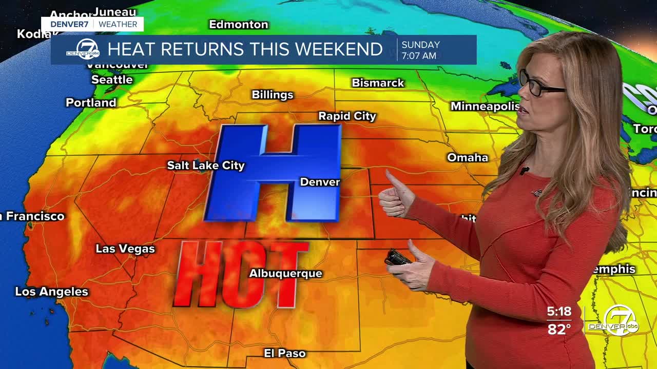


DENVER — It's been a nice break from the heat! We saw high temperatures in the low 70s around the Denver metro area Tuesday and that was about 15 to 20 degrees below-average. The relief from the heat is brief as a ridge of high pressure starts moving into Colorado mid-week.
- Watch the full forecast in the video player below.
Tonight will stay mostly dry, with just a small chance of a shower or thunderstorm well southeast of the area. Most places won't see any rain, and temperatures will remain a little warmer than last night. Some smoke in the air may still be noticeable this evening.

Thursday will be warmer with plenty of sunshine and dry weather. Fire danger will stay high, especially across the northern mountains and high mountain valleys, where dry conditions and gusty winds will continue. If you're spending time outdoors, be extra careful to avoid anything that could start a fire.

The warming trend continues Friday and into the weekend as high pressure settles over the region. Afternoon highs will climb into the upper 90s to around 103 degrees across the plains, making it the hottest stretch we've seen in a while. Smoke from wildfires in the Pacific Northwest may continue to drift overhead at times.
The hot, dry weather will keep fire weather concerns elevated through the weekend, particularly in the high mountain valleys. A Red Flag Warning remains in effect today for the northern mountains and high valleys, and conditions will stay favorable for rapid fire growth over the next several days.
By Sunday and early next week, a little more moisture is expected to return. That could bring a few showers and thunderstorms to the mountains, with rain chances spreading onto the plains by Monday or Tuesday. Temperatures should also begin to ease back a bit as clouds and moisture increase.
DENVER WEATHER LINKS: Hourly forecast | Radars | Traffic | Weather Page | 24/7 Weather Stream
Click here to watch the Denver7 live weather stream.
