

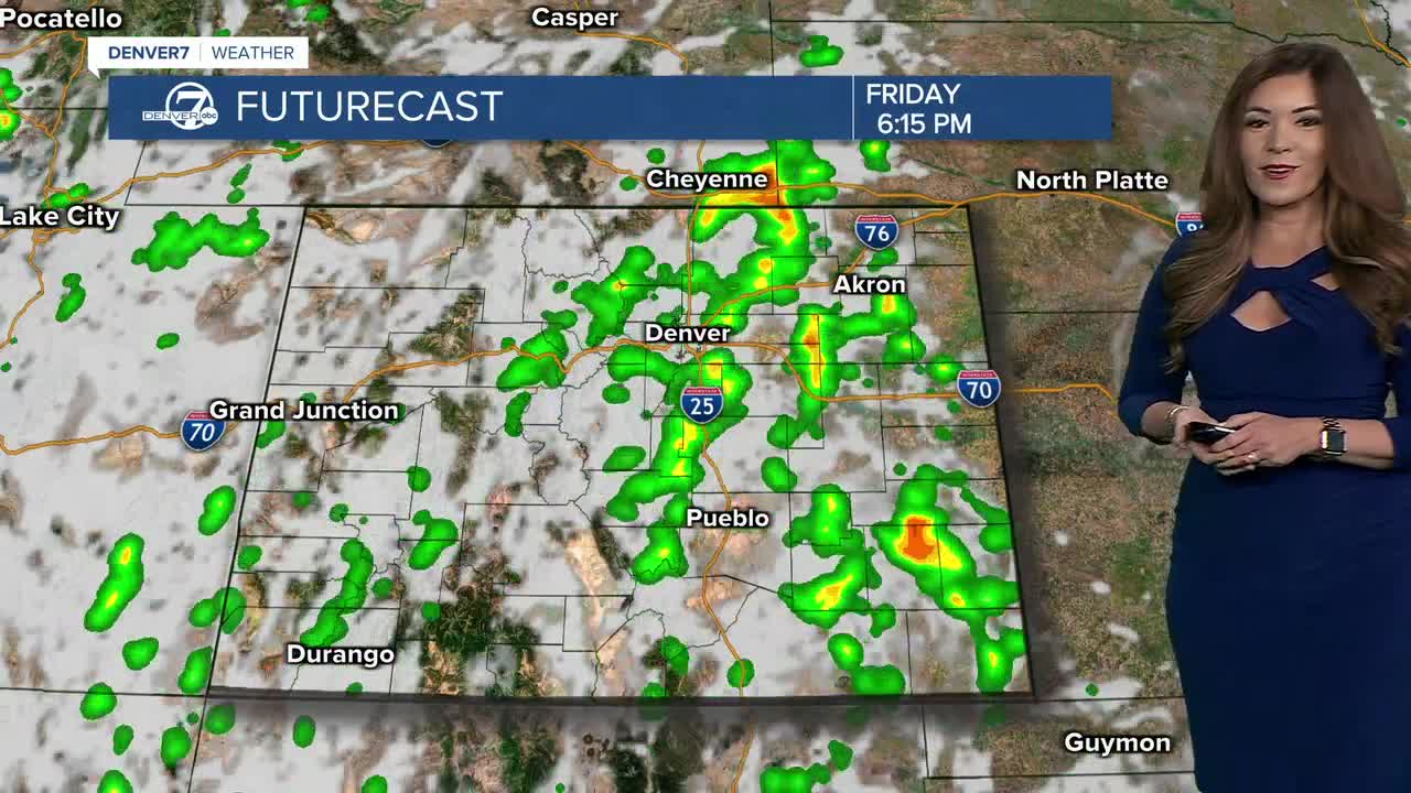


DENVER — Bring on the rain! Scattered showers and storms are rumbling across the Denver metro area and Eastern Plains this evening, bringing much needed rainfall to the region. Some severe storms are possible mainly east of Interstate 25 with large hail and damaging 60+ mph wind gusts.
A Flood Watch is in effect until 10 p.m. for parts of the plains as heavy rain could trigger flash flooding. Stay weather aware tonight!
- Watch the full forecast in the video player below.
Look for storms to push out of the state after midnight with partly cloudy skies by morning. Some patchy fog is possible along the South Platte River Valley near Greeley. Overnight lows will dip into the upper 50s to low 60s by Friday morning.
The rain will be heavier again on Friday afternoon and evening with the potential for localized flash flooding. Look for daytime high temperatures to only reach the upper 70s to low 80s along the Interstate 25 corridor.
The cool, wet weather sticks around through the weekend. Look for highs in the low to mid 80s with scattered storms Saturday and Sunday afternoon and evening.
Slightly warmer and drier weather returns early next week. We won't see another 90-degree day until next Tuesday! Enjoy the cool off while it's here!
DENVER WEATHER LINKS: Hourly forecast | Radars | Traffic | Weather Page | 24/7 Weather Stream
Click here to watch the Denver7 live weather stream.
