



DENVER - Scattered showers moving across the Front Range late tonight...generally between Boulder and Ft. Collins. These storms include heavier rain and gusty winds.
Monday looks like it could be the more active day, with showers and thunderstorms possible across much of the region. Storms may favor areas south and east of Denver, but the I-25 corridor could still see some activity.
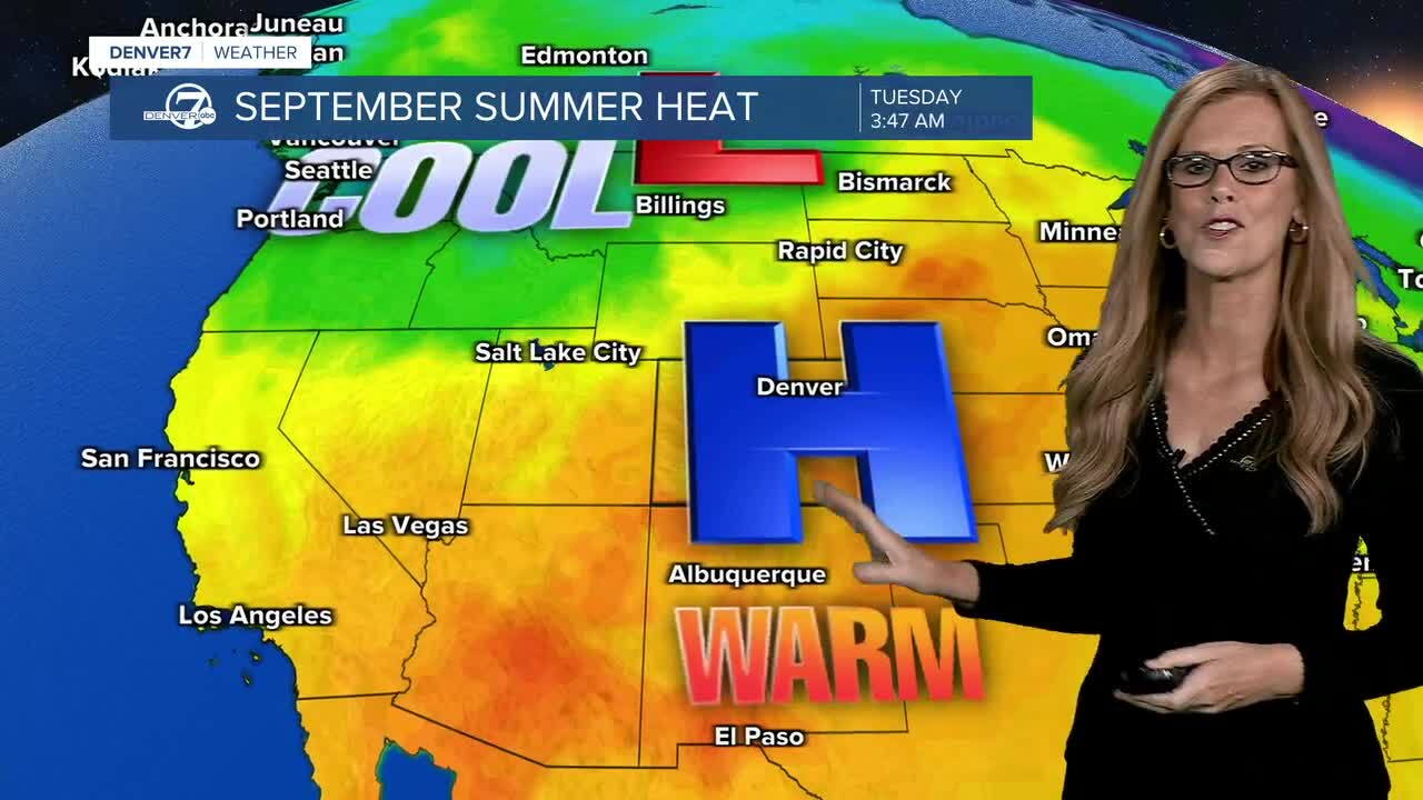
Monday looks like it could be the more active day, with showers and thunderstorms possible across much of the region. Storms may favor areas south and east of Denver, but the I-25 corridor could still see some activity
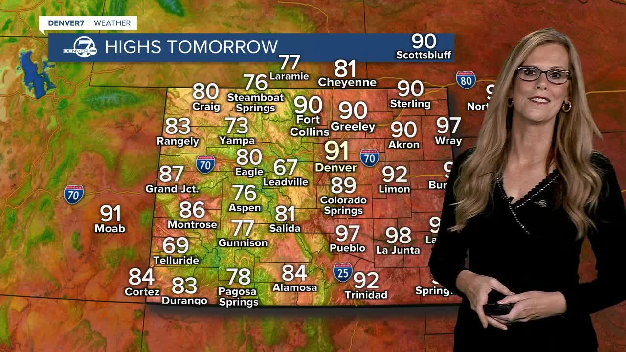
By Tuesday and Wednesday, things should turn a little drier and slightly cooler. Highs will generally be in the mid 80s to low 90s, though it’ll still feel quite warm. The rest of the week looks pretty steady, with highs mostly in the mid 80s to mid 90s.
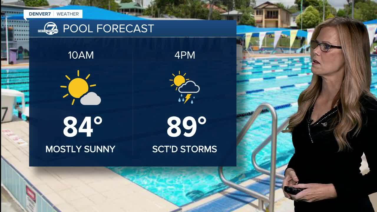
Looking ahead to next weekend, there’s a chance we could finally get a brief cooldown as a stronger system moves through the northern Rockies. It’s still far from certain, though, and some forecasts keep the warmer pattern going into mid-September.
DENVER WEATHER LINKS: Hourly forecast | Radars | Traffic | Weather Page | 24/7 Weather Stream
Click here to watch the Denver7 live weather stream.
