


Tonight, expect mild conditions for the Denver metro and the Front Range- lows in the 30s overnight. Winds will be picking up in the mountains, especially at the highest elevations.

These strong winds will mix down to the valleys as the system weakens by morning. Winds in exposed areas could reach 40 to 60 mph, but the foothills should see less impact. The winds will start dying down by Monday afternoon.

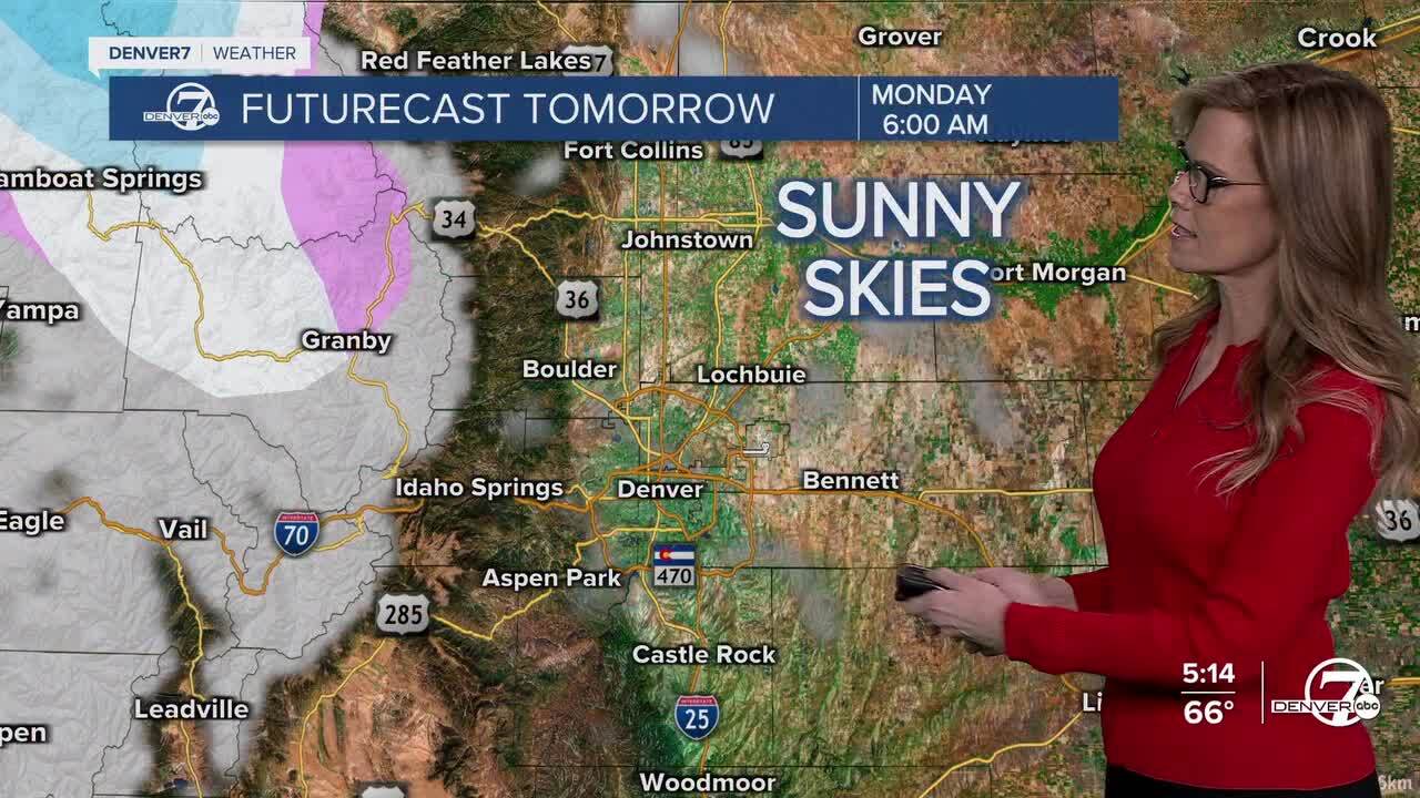
Temperatures on Monday back in the 60s or even a little warmer than Sunday, so it will stay pretty mild.
While there is some moisture moving in from the north, it’s not expected to bring much rain or snow. The northern mountains (Steamboat Springs) may get a few light snow showers, but they won't amount to much. Areas farther south will stay pretty dry.
The winds will continue into Monday night and Tuesday, with gusts of up to 60 mph in wind-prone spots. Tuesday will be warm, with temperatures in the 60s on the plains, but a cold front moving in later in the day could bring some cooler temperatures, especially near the Wyoming border.
On Wednesday, temperatures will be cooler, especially in the mountains, with a few light snow showers possible. Most of the plains will stay dry. After that, the weather looks to warm back in the 60s as a high-pressure system moves in, bringing mild temperatures to the region. There’s still some uncertainty about the weekend, but for now, it looks like it will stay warmer than usual.
DENVER WEATHER LINKS: Hourly forecast | Radars | Traffic | Weather Page | 24/7 Weather Stream
Click here to watch the Denver7 live weather stream.
