

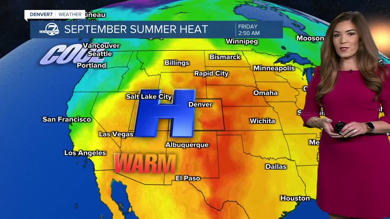


DENVER — We’re keeping an eye on a few showers and thunderstorms this evening as more moisture and energy move into Colorado. A disturbance will lift northeast from the Great Basin into the northern Rockies, bringing a few gusty storms to the mountains and parts of the Denver metro area.
Watch Denver7's Meteorologist Danielle Grant's forecast here:
Thursday looks to be the quietest day of the extended forecast. We’ll stay under a southwest flow aloft, which will keep temperatures running above normal. Expect plenty of sunshine with highs in the upper 80s to lower 90s across the Denver metro area. Even though it'll be toasty by September standards, highs will likely stay below daily heat records.
Monsoon moisture and potentially remnants of Hurricane Marie will gradually move into Colorado, as we head into Labor Day weekend. Friday could bring an isolated shower or thunderstorm, mainly over the mountains, while most of the plains stay dry. Look for highs in the low to mid 90s along the Interstate 25 corridor and onto the plains Friday afternoon.
By Saturday, a few of those storms could drift east toward the nearby plains, so there’s a slight chance of seeing some activity along the Front Range. Temperatures will stay in the low 90s Saturday afternoon under partly sunny skies.
Sunday is when we’ll really start to notice the increase in humidity and storm chances. Moisture levels could climb well above normal, setting the stage for more scattered afternoon and evening thunderstorms. Not everyone will see rain, but coverage should be noticeably higher than what we see Thursday and Friday.
Looking ahead to next week, the overall weather pattern doesn’t change much. We’ll remain under southwest flow, with temperatures staying warmer than normal — generally in the mid 80s to lower 90s.
The big question is how much moisture makes it north into Colorado. If we get enough moisture, scattered afternoon and evening storms will be possible each day. But even a small shift in the pattern could bring in much drier air and limit those storm chances. Stay tuned!
DENVER WEATHER LINKS: Hourly forecast | Radars | Traffic | Weather Page | 24/7 Weather Stream
Click here to watch the Denver7 live weather stream.
