


DENVER – Portions of northern Colorado and the Front Range will again be under the threat of localized flash flooding Tuesday afternoon as the Denver metro could see a few strong storms.
Colorado’s eastern plains could see a greater threat of severe storms potentially dropping golf ball sized hail and high wind gusts.
“Denver will see some scattered storms this afternoon and there is going to be a risk of severe weather on the eastern plains,” said Denver7 Meteorologist Lisa Hidalgo. “We’ll see more widely-scattered storms in the mountains by the afternoon and those storms will gradually push east. Some of these storms could produce some larger hail and damaging winds.”
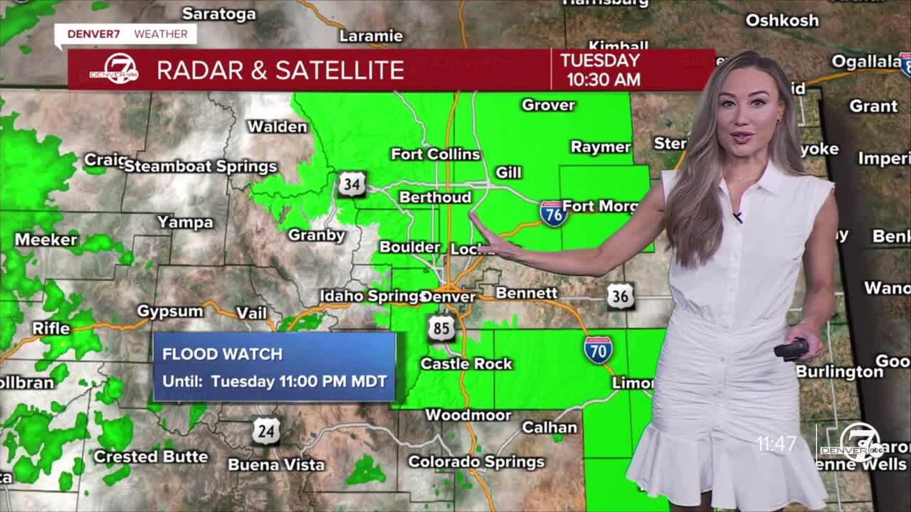
A flash flood watch is in effect through the evening hours for communities surrounding Denver including Boulder, Fort Collins, Fort Morgan and south to Castle Rock. As of Tuesday morning, Denver is not included in the watch.
Check latest Colorado weather alerts
Colorado’s burn scar areas could again see flash flood warnings Tuesday afternoon.
“With precipitable water close to an inch over the foothills and up to 1.6 inches on the plains by this evening, thunderstorms could lead to heavy rainfall,” wrote the National Weather Service (NWS) in Boulder. “The threat of flash flooding remains elevated for recent burn areas. 1-2 inches per hour could occur over burn areas.”
There is a potential for isolated flooding across the plains. The NWS said some locations on Monday saw over 3” of rain due to slow-moving storms.
“Thunderstorms will be capable of producing 1 to 2” of rain in 30 to 45 minutes,” added the NWS.
Denver7’s Futurecast showed by 9 p.m. Tuesday, most of the storm activity through Denver with thunderstorms lingering in far northeast Colorado.
“Overnight, we’ll see a partly to mostly cloudy sky and we’ll wake up tomorrow morning to drier conditions with a few more storms possible on Wednesday but things are going to be a lot drier by the end of the week,” added Hidalgo.

Denver’s 10-day forecast
- Wed: 85° | Scattered PM storms
- Thu: 88° | Few PM storms
- Fri: 92° | Warmer, drier
- Sat: 95° | Hot and dry
- Sun 92° | Few PM storms
- Mon 88° | PM storms likely
- Tue 90° | Mostly sunny
- Wed 90° | Mostly sunny
- Thu: 87° | Partly cloudy

DENVER WEATHER LINKS: Hourly forecast | Radars | Traffic | Weather Page | 24/7 Weather Stream
Click here to watch the Denver7 live weather stream.