

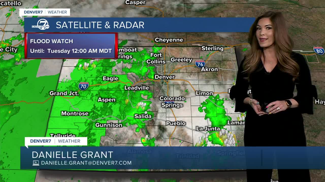


DENVER — Another round of scattered storms and showers will move into the Front Range and Denver metro area this evening and could continue late tonight.
The heaviest rain will likely fall in the mountains and we could see more localized flooding and mudslides, especially near the burn scars. A Flood Watch is in effect for most of western Colorado until midnight.
A few storms across the eastern plains could become strong to severe, with damaging wind gusts again being the main threat. There’s also a chance for some small hail and locally heavy rain, but fast-moving storms should help keep the risk of widespread flooding fairly low to the east.
Things settle down a bit starting Tuesday as warmer and drier weather moves in. Look for mostly cloudy skies to start, with clearing by the afternoon. We’ll still have a chance for an afternoon or evening shower or storm, but it won't be as widespread as Monday. Temperatures will warm into the mid 80s Tuesday afternoon with 90+ degree heat on tap the rest of the week.
A ridge of high pressure builds in mid-week, turning off the monsoon rains and ushering in the heat. We'll see plenty of sunshine and highs in the low 90s through Friday.
Looking ahead to Labor Day weekend, temperatures will stay in the upper 80s to low 90s Saturday and Sunday in the Denver metro area under partly sunny skies. Look for scattered storms in the High Country this holiday weekend with possibly a few in Denver on Labor Day. Stay tuned as it gets closer!
DENVER WEATHER LINKS: Hourly forecast | Radars | Traffic | Weather Page | 24/7 Weather Stream
Click here to watch the Denver7 live weather stream.
