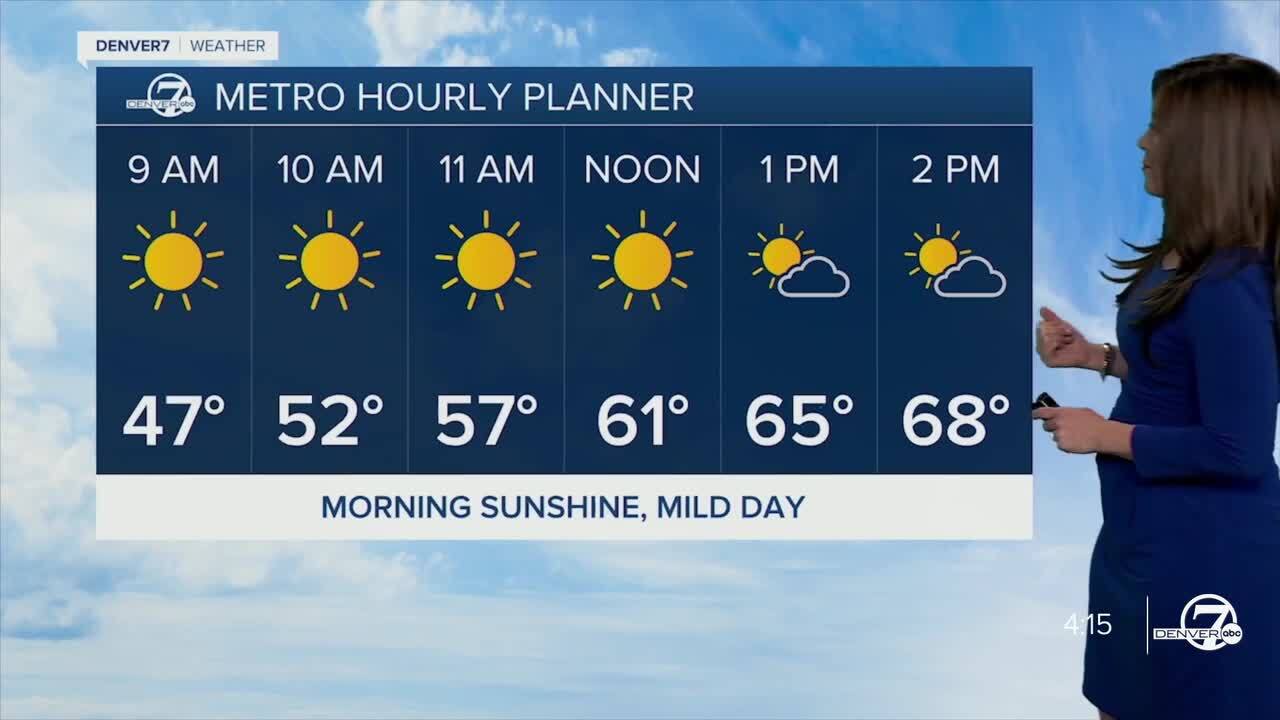
DENVER — After a cool start to the week, warmer temperatures make a comeback Tuesday and stick around for most of the work week.
A ridge of high pressure will build across the west and temperatures will soar into the 70s across the plains, with 50s and 60s in the mountain areas.
We'll see a few more clouds Tuesday afternoon and a spotty shower or two in the mountains and perhaps across the Palmer Divide.
Temperatures will climb into the 70s again Wednesday and Thursday, and the winds will kick up a bit too. This could lead to a couple of days of high fire danger along the Front Range.
Our next storm will hit the metro area on Friday and it's going to get quite a bit colder and wetter. A strong cold front will swing into the state dramatically dropping temperatures from the 70s Thursday to the upper 30s to low 40s Friday.
It looks like the Denver metro will see a few scattered rain showers Thursday evening with a rain/snow mix likely Friday into Saturday morning. So far, it looks like less than an inch of snowfall accumulation on the grasses and rooftops.
The mountains will see scattered snow showers starting late Wednesday night, continuing off and on through Saturday morning. More details to come as the storm gets closer!
It looks like Colorado's skies will gradually clear on Easter Sunday, with highs in the mid 60s. The low 70s make a comeback early next week.
DENVER WEATHER LINKS: Hourly forecast | Radars | Traffic | Weather Page | 24/7 Weather Stream
Click here to watch the Denver7 live weather stream.


