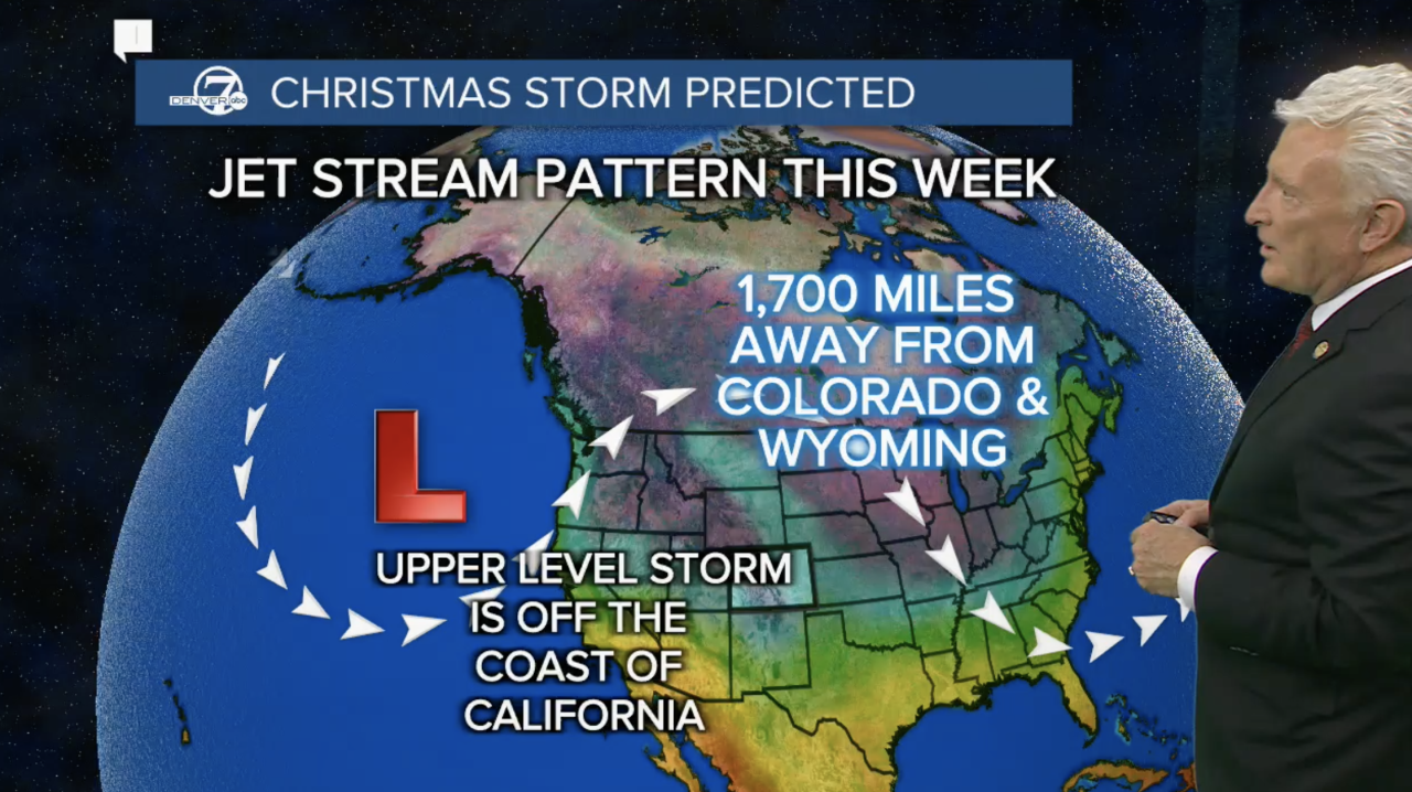
DENVER — A storm system looming off the coast of California could deliver the gift of a white Christmas in Colorado as Denver’s chances of seeing snow continue to increase as the holiday approaches.
And that has Denver7 Chief Meteorologist Mike Nelson in a festive mood.
“Twas the week before Christmas and all across the state, the skiers are screaming, the snow is too late,” Mike Nelson said. “We need more snow, folks!”
In terms of snowfall this year, he said Colorado is about three-quarters of where the state should be this time of year as the basins are dry but there is good news in the 7-day forecast and particularly the period between Christmas Eve and New Year’s Eve.
Nelson said the 10-day outlook for precipitation shows Colorado should be in a wetter-than-average weather pattern as a slow-moving low pressure system is currently 1,700 miles from the state.
“It is going to shift and drop down into the Southern Rockies on Christmas Eve and Christmas Day and that should bring us a good, soggy storm,” said Nelson. “Not a lot of cold air but hopefully some decent moisture.”
Nelson stressed the storm is still hundreds of miles away but better timing and snowfall potentials should come into focus over the next few days.
“The exact track of this could shift. It might bring heavier snow farther south, it might take the heavier snow to the north but we’ll keep a close eye on it,” said Nelson. “It’s a good, significant storm system.”

The National Weather Service (NWS) in Boulder added there is the potential for “impactful winter weather across portions of the high plains and Rocky Mountains” starting this weekend.
In its latest forecast discussion, the NWS said the chance for snow could “ramp up as early as Saturday” with the “period most favored for precipitation by the core of the guidance would be Christmas Eve.” Reiterating uncertainty around the storm’s timing and potential impacts, the NWS said there are indications of “lingering precipitation into Christmas Day” but some models show the region staying dry.
The NWS also said the storm could bring precipitation in the form of rain instead of snow “which could eat into any snow totals."

In terms of actual snow totals by the afternoon of Christmas, the NWS in its forecast discussion said models show an increase in the chances of measurable snow over an inch. “But a small handful maintain mostly dry conditions, while on the flip side, another subset suggests potential for a more significant event for portions of our forecast area with upwards of 12" of snow," they said.
Either way, the chances of a white Christmas in Colorado, including the Denver metro area, are looking a little better this far out from the holiday.
“For now, snow lovers may feel comforted by a healthy opportunity at a white Christmas, and at least a possibility (~30% chance) of a significant snow somewhere in northeast Colorado around that time,” said the NWS. “But time will tell how things eventually evolve.”
Looking ahead to any potential impacts to holiday travel, the NWS said the main timeline right now for northeast Colorado would be between Saturday evening into Christmas day and significant snowfall is possible but the forecast models will need to be monitored as the holiday approaches.

Despite Colorado’s recent dry spell, there is no drought in the central portions of Colorado but it is increasing along the plains. Southwestern Colorado is seeing moderate drought conditions.
WEATHER LINKS: Closings and Delays | Latest forecast | Radars | Traffic | Weather Page | 24/7 Weather Stream
You can always watch 24/7 weather, radar and news updates on the free Denver7+ app on your TV.
Click here to watch the Denver7 live weather stream.


