DENVER — Sweater weather is finally here, Denver, and hopefully you have an umbrella handy because even though southwestern Colorado is getting a good dumping of snow this weekend, the weather won’t be as exciting for those us in the metro.
A winter storm warning remains in effect until noon Sunday due to heavy, blowing snow expected above 8,500 feet that could leave behind between 1 to 2 feet of snow across the Northwest and Southwest San Juan Mountains. Telluride, Ouray, Lake City, Silverton, Rico and Hesperus were among the cities included in the warning.
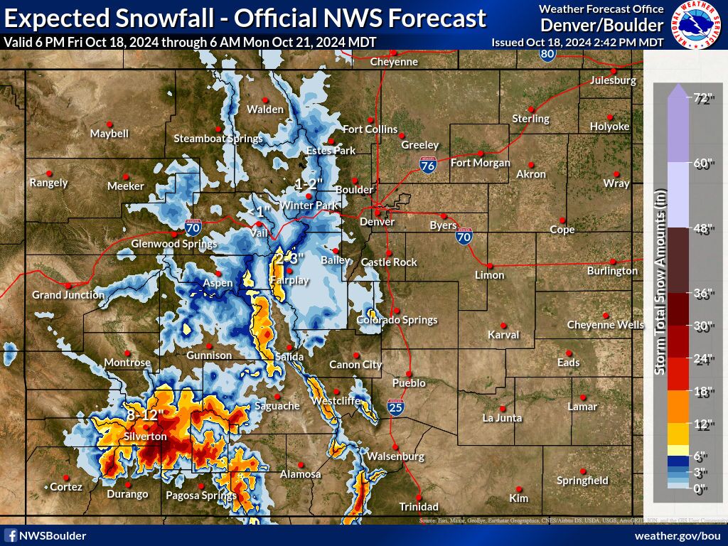
Coloradans from Silver Cliff all the way to South Fork are under a winter weather advisory in effect until 9 a.m., where up to eight inches of snow could fall by the time the storm moves through the area. Moderate to heavy snow is expected at times above 8,500 feet, with up to a foot of snow possible for the Eastern Sawatch Mountains and Pikes Peak above 11,000 feet, forecasters with the National Weather Service in Grand Junction said.
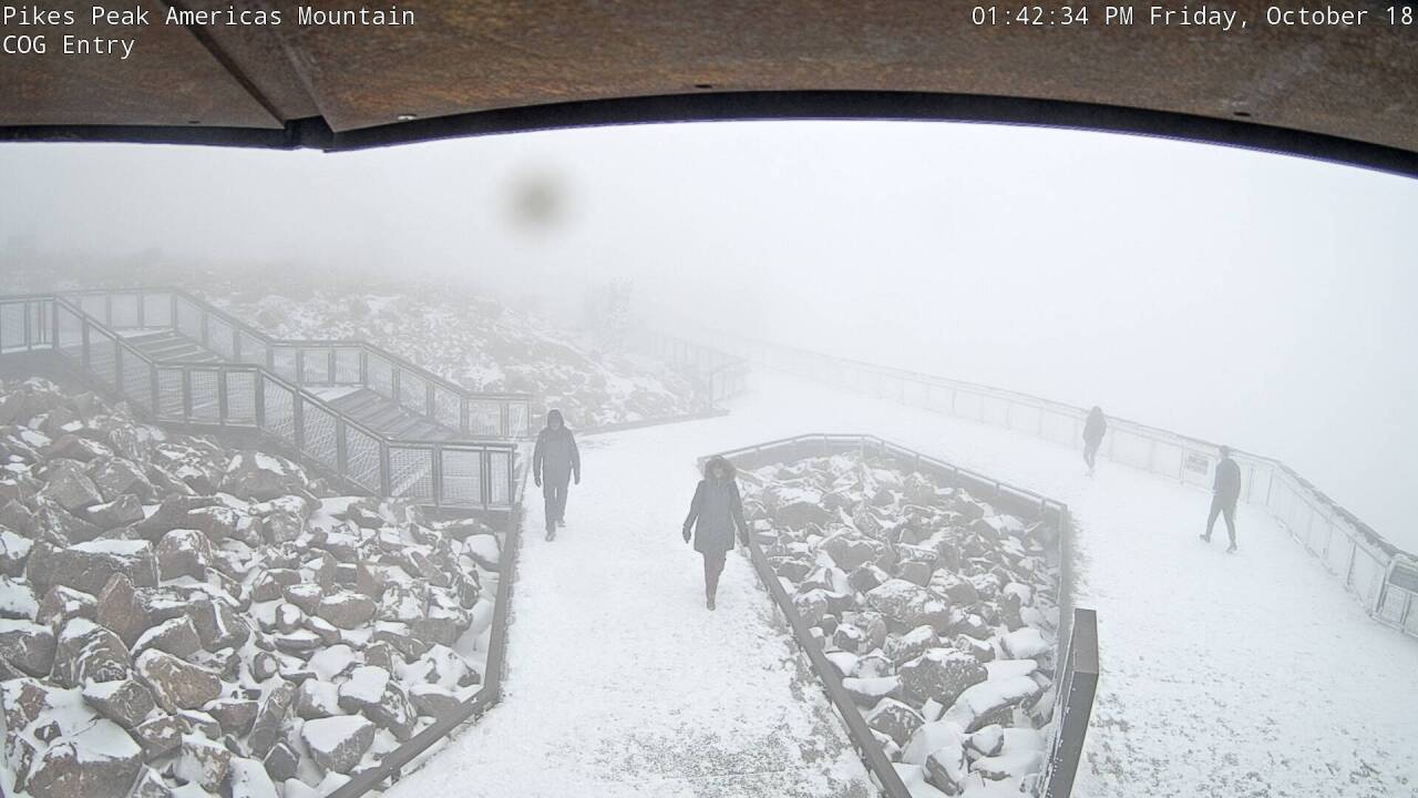
A dusting of fresh, white powder could already be seen in areas like Pikes Peak, Aspen Mountain even Keystone Ski Resort, were light snow started falling late in the afternoon.

Loveland Pass, Echo Lake and Berthoud Pass may see between two to seven inches of snow, while others, like Cameron Pass, Trappers Peak and Cottonwood Pass could see up to 10 inches of snow.
“While these totals aren`t terribly impressive, it’s still enough to cause some headaches over the passes crossing the Continental Divide (Vail, Monarch, Wolf Creek, etc), so travelers should stay tuned to the latest forecast and be prepared for winter driving conditions,” weather service officials said in their latest forecast discussion.
Closer to home, areas like Winter Park, Fairplay and Keystone should see anywhere between 1-3 inches of snow.

Check latest Colorado winter weather alerts
Denver won’t get any of that sweet, winter action, unfortunately, but we’ll get some much-needed moisture in the form of light rain showers through Saturday morning.
“Along and north of I-70, and for the I-25 corridor from Castle Rock to Wyoming, rainfall amounts look to be light,” forecasters with the National Weather Service in Boulder said earlier Friday. “There looks to be another round of light precipitation… but most (of it) should remain along and south of I-70 Saturday morning.
Saturday’s high will be 56 degrees in Denver before a warming trend starts Sunday, with highs in the upper 60s. Looking for that 70-degree weather? That starts Monday with a high of 72 and a high of 75 degrees by Tuesday under mostly sunny skies.


Denver7 is committed to making a difference in our community by standing up for what's right, listening, lending a helping hand and following through on promises. See that work in action, in the videos above.


