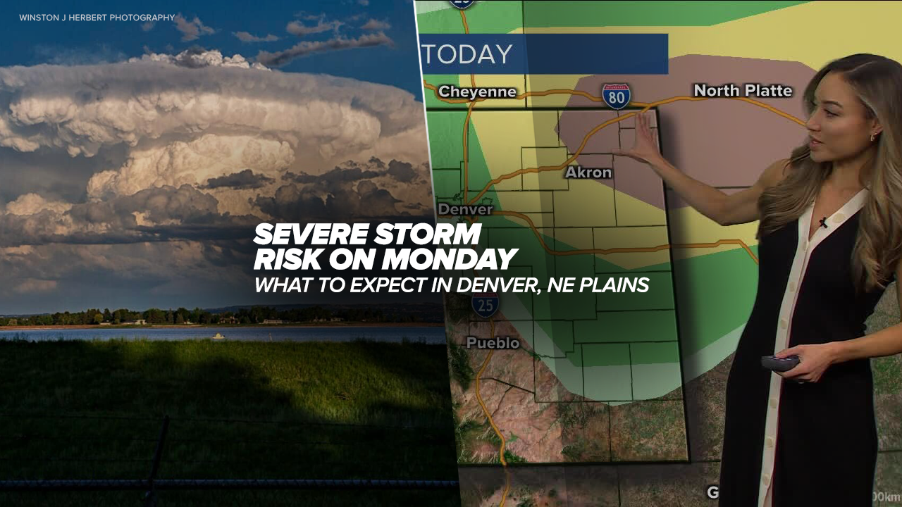
DENVER – The National Weather Service Storm Prediction Center has issued a tornado watch for several Colorado counties as severe weather is expected to bring the potential for tornadic storms along with the threat of high wind and hail.
Colorado counties under the tornado watch until 11 p.m. Monday include:
- Logan
- Morgan
- Phillips
- Sedgwick
- Washington
- Weld
The tornado watch also includes Cheyenne County in Kansas and Dundy County in Nebraska.
The NWS issued a tornado warning for part of the state that includes Otis until 8:30 p.m. Last Chance is under a tornado warning until 8:45 p.m.
The NWS said scattered large hail, up to tennis-ball size is possible in any severe storm that forms on Monday.
High wind gusts up to 70 mph are also possible.
'A few supercells are expected to form this evening across northeast CO, and the storms will then move east-northeastward toward extreme southwest Nebraska and northwest Kansas through late evening/early tonight,' said the prediction center.
While the Denver metro area is not included in the tornado watch, thunderstorms and isolated stronger cells are possible during the afternoon and evening hours.

A portion of northeastern Colorado is under an enhanced risk of severe storms including the communities of Sterling, Akron and Wray.
Greeley, Fort Morgan, Deer Trail, Flagler and Burlington remain under a slight risk of severe storms.
The entire Denver metro area and the communities of Boulder, Fort Collins and Estes Park are under a marginal risk for severe weather.

Today's Forecast
Colorado weather: Enhanced severe storm risk could bring large hail, tornadoes
The NWS said between 4 p.m. and midnight would be the “peak risk period” for strong storms to develop and while a few tornadoes are possible on the northeast plains, significant, large hail would be the greatest threat with severe storms that develop.
Overnight into Tuesday, wet weather will stick around across Colorado and the Denver metro area, but the severe weather threat will diminish after Monday’s round of storms.


