DENVER — The threat of flooding continues Monday over a large portion of Colorado including the Denver metro area stretching south through Colorado Springs and north to the Wyoming border.
Multiple weather watches and warnings have been issues across the state, including a flash flood watch that includes the Denver metro area until midnight as widespread showers and storms are bringing the potential for isolated, localized flooding.
We are updating the latest flooding and storm warnings here. Scroll down to continue reading more details on the weather situation.

Monday, June 12
4:24 p.m. | Forecast update | After a very busy afternoon, the worst of the storms are now east of the Denver metro area, according to Denver7 Chief Meteorologist Mike Nelson. Even though the main line of storms moved through, showers will stick around through the evening hours. A flash flood watch remains in effect until midnight.

3:48 p.m. | New flood warning | Northeastern Lincoln County in east-central Colorado is under a flash flood warning until 6:45 p.m. The NWS said radar indicated an additional half inch of rain is possible in an area that has already seen up to 2 inches.
3:02 p.m. | Elbert County road closures | Flooding has forced the following road closures, according to Elbert County's Office of Emergency management:
- CR 122 between CR 93 and Ridge Road
- CR 117 north of Hwy 86
- CR 112 between CR 73 and Freeze Road

2:58 p.m. | Flood warning expiring | The NWS said the flood warning for the East Troublesome Burn Scar expires at 3 p.m. and flooding is no longer expected to be a threat in northeastern Grand County.
2:25 p.m. | Tornado warning | Southwestern Lincoln County in east central Colorado is under a tornado warning for radar-indicated rotation. The NWS said the storm is 38 miles east of Colorado Springs moving east at 30 mph.The warning is in effect until 3 p.m.

2:21 p.m. | Flood warning | The NWS has issued a flood warning for Southeastern Elbert and North Central Lincoln Counties until 5:30 p.m. An additional 1 inch of rain is possible.
2:19 p.m. | Greeley flooding | Several street closures are in place in Greeley due to flooding conditions including 71st Avenue, O street to 4th street along Two Rivers Parkway, the city tweeted.
2:14 p.m. | 6th Avenue reopened | Both the west and eastbound lanes of 6th avenue in Denver have reopened after the highway was completely closed down due to flooding, CDOT said.
2:04 p.m. | Multiple weather warnings | The NWS' alert map is lit up with several flash flood, severe thunderstorm and tornado warnings currently in effect in Colorado. The radar-indicated tornado warnings are in effect for the southeastern corner of the state.
The latest, up-to-date weather alerts can be checked at this link.

1:55 p.m. | Tornado warning | The NWS has issued a tornado warning for Southeastern El Paso and Northeastern Pueblo Counties until 2:30 p.m. This is for radar-indicated rotation, the NWS said. The storm is 20 miles north of Pueblo moving east.
1:47 p.m. | Flood warning | Central Elbert County is now under a flash flood warning until 4:45 p.m.The NWS said radar indicated an additional inch of rain is possible on top of the 1 to 2 inches that have already fallen.
1:41 p.m. | 6th Avenue update | The westbound lanes of 6th avenue in Denver have reopened between Federal and Sheridan Blvds after it was shut down due to flooding. The eastbound lanes remain closed, according to CDOT.

1:38 p.m. | Tornado warning | The NWS in Pueblo has issued a tornado warning for radar-indicated rotation 19 miles north of Pueblo. The storm is moving east at 30 mph, the NWS said. The warning is in effect until 2 p.m.
1:30 p.m. | Tornado warning | South central El Paso County in east central Colorado is under a tornado warning until 2 p.m.The NWS said radar-indicated rotation is happening 19 miles south of Colorado Springs.
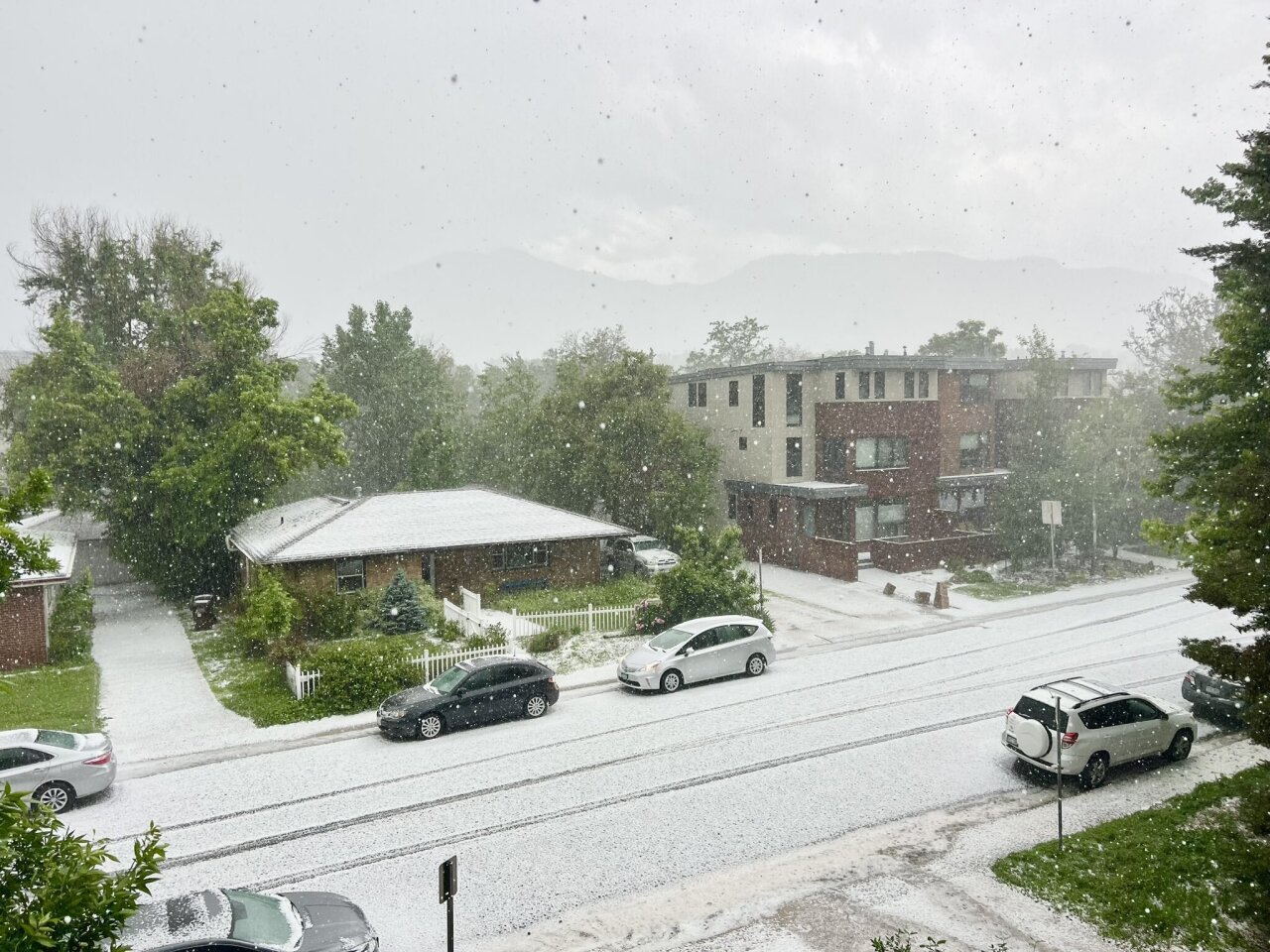
1:13 p.m. | Boulder hail | Residents in Boulder have reported 'significant' flooding and small hail over the past fifteen minutes. The city was under a severe thunderstorm warning until 1:15 p.m.
1:05 p.m. | Severe thunderstorm watch| A severe thunderstorm watch has also been issued for the southeast corner of Colorado, which includes Colorado Springs, through 7 p.m. for the threat of large hail, high wind and possible isolated tornadoes The watch area includes Pueblo and Trinidad.
12:45 p.m. | Forecast update | "Expect widespread thunderstorm activity over the next couple of hours with pockets of heavy rain," said Denver7 meteorologist Katie Lasalle. "It could lead to flooding in low-lying areas with a flood watch in effect for a big portion of north central, northeast Colorado, including Denver — off to the west and into the foothills."
12:32 p.m. | Latest Flood warnings | Multiple flash flood warnings have been issued for Monday afternoon. Here's the latest alerts in effect:
Traffic Alert: 6th Avenue and Perry Street in Denver. #cowx pic.twitter.com/iEaA4NpfQX
— April Schildmeyer (@Aschildmeyer) June 12, 2023
- Flash flood warning for Central Elbert County until 2 p.m.
- Flash flood warning for Cameron Peak Burn Scar until 3:15 p.m.
- Flash flood warning for East Troublesome Burn Scar through 3 p.m.
- Flash flood warning for Eastern Teller, Southwestern El Paso Counties until 4:30 p.m.
- Flash flood warning for East Central Fremont County until 4 p.m.
- Flash flood warning until 3:15 p.m. for Central El Paso County
Check latest Colorado weather alerts.
WEATHER LINKS: Hourly forecast | Radars | Traffic | Weather Page | 24/7 Weather Stream

A flash flood warning is in effect for Central Elbert County in east central Colorado until 2 p.m. as weather radar indicated storms could produce more rainfall on top of the 1 inch that has already fallen.
Small stream flooding is also a threat in some low-lying and flood-prone areas, the NWS said.
A flood warning is in effect until 10:15 p.m. Monday for the Bijou Creek Basin in east central and northeast Colorado which includes Elbert, Adams, Arapahoe and Morgan Counties.
Flooding continues to be a problem in Colorado's burn scar areas.

Local
Flash flood warning covers part of Cameron Peak Fire burn scar in Larimer County
A flash flood warning is in effect for the East Troublesome Burn Scar in northeastern Grand County until 3:00 p.m. Another flash flood warning is also in effect for the Cameron Peak Burn Scar in Central Larimer County until 3:15 p.m.

The severe weather outlook is lower that Sunday, but over southeastern Colorado there is an increased threat of storms, said LaSalle.
Showers and storms are expected to stick around through the evening hours, so Denver Nuggets fans who are out and about should keep an eye on weather alerts through the game.
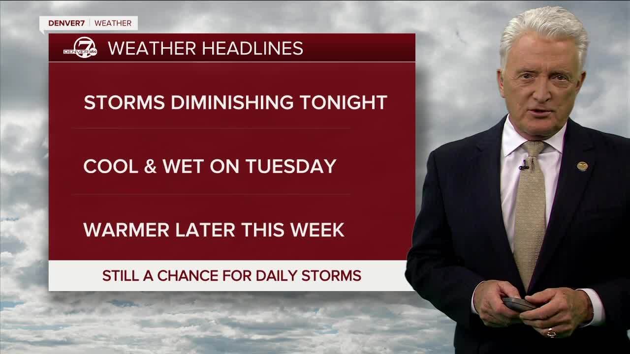
Looking ahead, afternoon thunderstorms remain in the weather forecast each day this week.
Rain and cool temperatures will continue for Tuesday, with showers likely early and scattered thunderstorms through the afternoon. Highs tomorrow will only be in the 60s.
A warmer and drier weather pattern returns Wednesday through the end of the week, with highs in the upper 70s. We will still see the chance for thunderstorms each afternoon, but activity will be less widespread.
Denver7's Katie Lasalle contributed to this report.


